A Quantitative Evaluation Framework for Automated Englacial Layer Tracing Initiatives
1/2022-12/2023
I worked with Dr. Nicholas Holschuh at Amherst College to evaluate machine learning methods for extracting englacial layers from ice-penetrating radar data. I gave a talk about this work at the American Geophysical Union Annual Meeting in 2023.
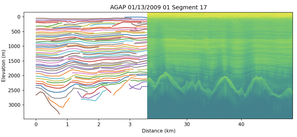
Ice-penetrating radar data, collected primarily to measure ice thickness, have the potential to provide information about past ice sheet behavior and paleoclimatic conditions. This information is encoded in the englacial layering, which goes largely uninterpreted in the data collected over hundreds of thousands of line-kilometers for ice sheet bed mapping. But englacial layering is logistically difficult to trace, and even when done manually, uncertainty in traced layering is difficult to quantify. As a result, there is community demand for automated layer tracing schemes and clear, quantitative metrics for evaluating the quality of generated layers.
Methods of layer tracing tend to approach tracking the ice bottom and englacial layers separately. Automated approaches to ice thickness measurement have been maturing, and behave more consistently across images, given the clear signal associated with the ice bottom in radar imagery [1] [2] [3]. Automated extraction methods for the englacial layers (ranging from algorithmic approaches to deep learning methods [4] [5]) have yet to demonstrate consistent results for diverse datasets, and often fail in the presence of common features in ice-penetrating radar data: low signal-to-noise ratios in deep layers, layer dimming associated with steep layer slopes, emergence and destruction of reflectors due to changes in ice thickness and layer interference, physical discontinuities in the stratigraphy, and complex scattering in deep ice. To improve layer tracing models, criteria for model selection must be developed that reflect expert evaluation of traced layers. In this work we apply published layer tracing techniques to radar data collected over Dome A, East Antarctica (where a variety of stratigraphic features and common sources of layer tracing error are present), demonstrate common errors in existing methods, and work toward an evaluation framework that can direct model development going forward.
[1] Rahnemoonfar et al., Radar Sensor Technology XX. 9829, 982902 (2016)
[2] Liu-Schiaffini et al., IEEE Trans. Geosci. Remote Sens., 60, 1-14 (2022)
[3] Crandall et al., Int. Conf. Pattern Recognit. (ICPR2012) 1530-1533 (2012)
[4] Dong et al., IEEE Trans. Geosci. Remote Sens., 60, 1-12 (2022)
[5] Ferro et al., IEEE Trans. Geosci. Remote Sens., 51(3), 1622-1634 (2013)